


Better understanding of Queensland’s Eastern Murray–Darling Basin River ecosystems
Better understanding of Queensland’s Eastern Murray–Darling Basin River ecosystems
 © The State of Queensland
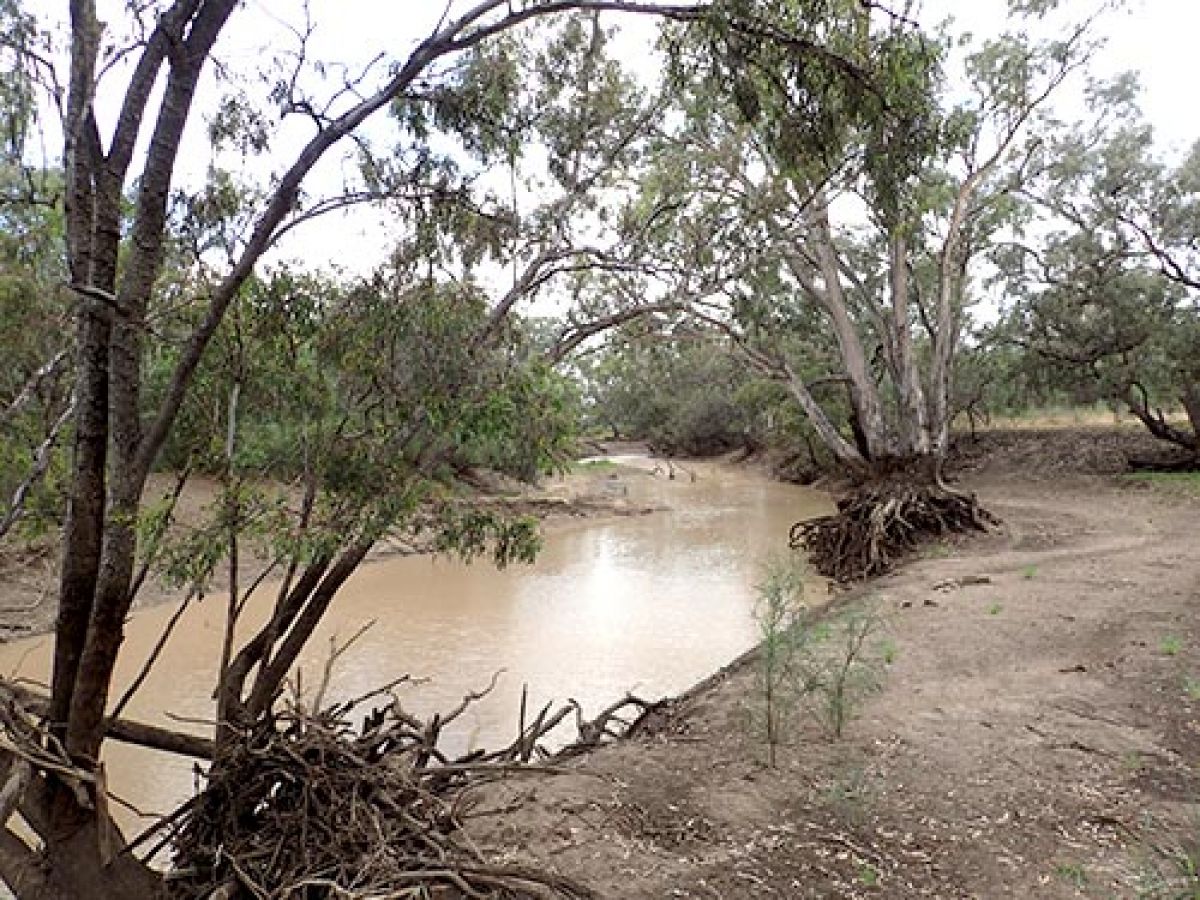
The Murray–Darling Basin is the catchment for Australia’s largest river system. It starts in Queensland, rising in the Great Dividing Range near the border with New South Wales, and spreading out through the Maranoa Valley to floodplains.
In 2019, the Department of Environment and Science (DES) finalised a Q-catchments technical report for the Queensland Eastern Murray–Darling Basin (QEMDB), specifically the Border Rivers and Moonie River catchment areas and the Condamine and Balonne River catchment areas.
The Q-catchments program assesses and researches riverine threats and conditions of riverine ecosystems, regionally, across the state.
The QEMDB technical report is based on information gathered from the monitoring of physical, chemical and biological indicators.
Some of the key findings from this report included:
- moderate impacts from introduced animals (i.e. cattle, pigs, goats) on riverbanks, resulting in minor to moderate disturbance to ecosystem condition
- moderate risk from introduced riparian weeds to the Lower Balonne
- pest fish, mainly European carp, are found throughout the region and dominate sites within Moonie River catchment
- deposited sediment combined with water management is impacting on waterhole persistence.
The QEMDB report will help government decision-makers better identify key threats and prioritise targeted management actions. It will be of particular use in developing Queensland water plans.
The Q-catchment program has undertaken similar assessments for the Central Queensland, Wet Tropics, Lake Eyre and Cape York basin as well as the western Queensland section of the Murray–Darling Basin.
More information: