

Land Condition Assessment Tool
Land Condition Assessment Tool
 © The State of Queensland
Accurate and consistently recorded data on the condition of land is critical to decision-making within the grazing and agricultural communities; it also supports sound policy development across all levels of government and industry.
Land condition data underpins sustainable land management initiatives across Queensland—from influencing practices that keep vast grazing resources productive and sustainable, supporting communities and industries, to reducing sediment and improving water quality flowing to the Great Barrier Reef.
The Land Condition Assessment Tool (LCAT) is a science-based assessment framework that the Queensland Government has developed, combining simple design and contemporary technologies.
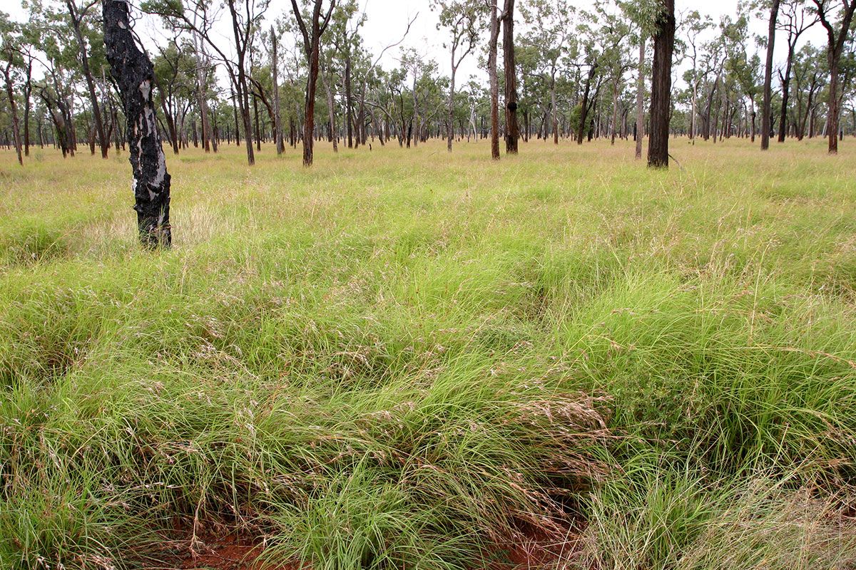
Unlike land resource assessments which focus on land capability, LCAT determines the current state of the land, by evaluating key indicators of long-term land condition. Climate can influence land condition as can management practices. Within the established Grazing Land Management ABCD land condition framework, for example, data from long-term grazing trials demonstrates that as land condition declines, productivity declines (e.g. land in C condition retains only about 55 % of the original carrying capacity compared with A condition).
Available in Standard and Advanced versions on Esri’s Survey 123 platform, a LCAT app user answers a series of questions by selecting pictograms (stylised pictures) representing land condition values—such as, pasture composition, density and ‘quality’, ground cover, erosion processes, pest plant impacts and vegetation densities. Impacts from natural events or management practices such as drought and total grazing pressure can be recorded to inform current land condition and risks. Results are immediate, with a scorecard displaying an ABCD site rating aligned to grazing land management and ecological principles, a numeric site score, an indicative pasture biomass (kg/ha) and a range of potential site/landscape ‘hazards’ associated with water quality, fire and ecological impacts.
Implementation and training in the use of LCAT commenced in early 2020.
Access to the app is currently limited to Queensland Government officers, all Queensland Natural Resource Management organisations and anyone delivering projects under the Reef 2050 plan.
Data and results will be used to evaluate the effectiveness of projects and programs which aim to improve land condition, productivity and sustainability; efforts to reduce soil erosion; the provision of monitoring and decision support information to land managers; and, to validate and improve products and services derived from remote sensing and modelling which are used for decision support.