Cyclone activity
You are viewing an archived copy of the 2017 report.
Key finding
Queensland experienced 2 cyclones between March 2015 and December 2017.
A cyclone is a large, powerful storm which forms over warm tropical water and has very high winds that rotate around an ‘eye’ or area of low barometric pressure. Cyclones can persist for many days and travel a considerable distance. Their destructive winds, coastal erosion and inundation by storm tides pose significant threats to communities, agricultural enterprises and the environment along the coast.
Cyclone frequency and intensity can vary markedly from year to year and over decades, influenced by several factors especially variations in the El Niño-Southern Oscillation (ENSO) cycle.
Queensland experienced 2 cyclones between March 2015 and December 2017:
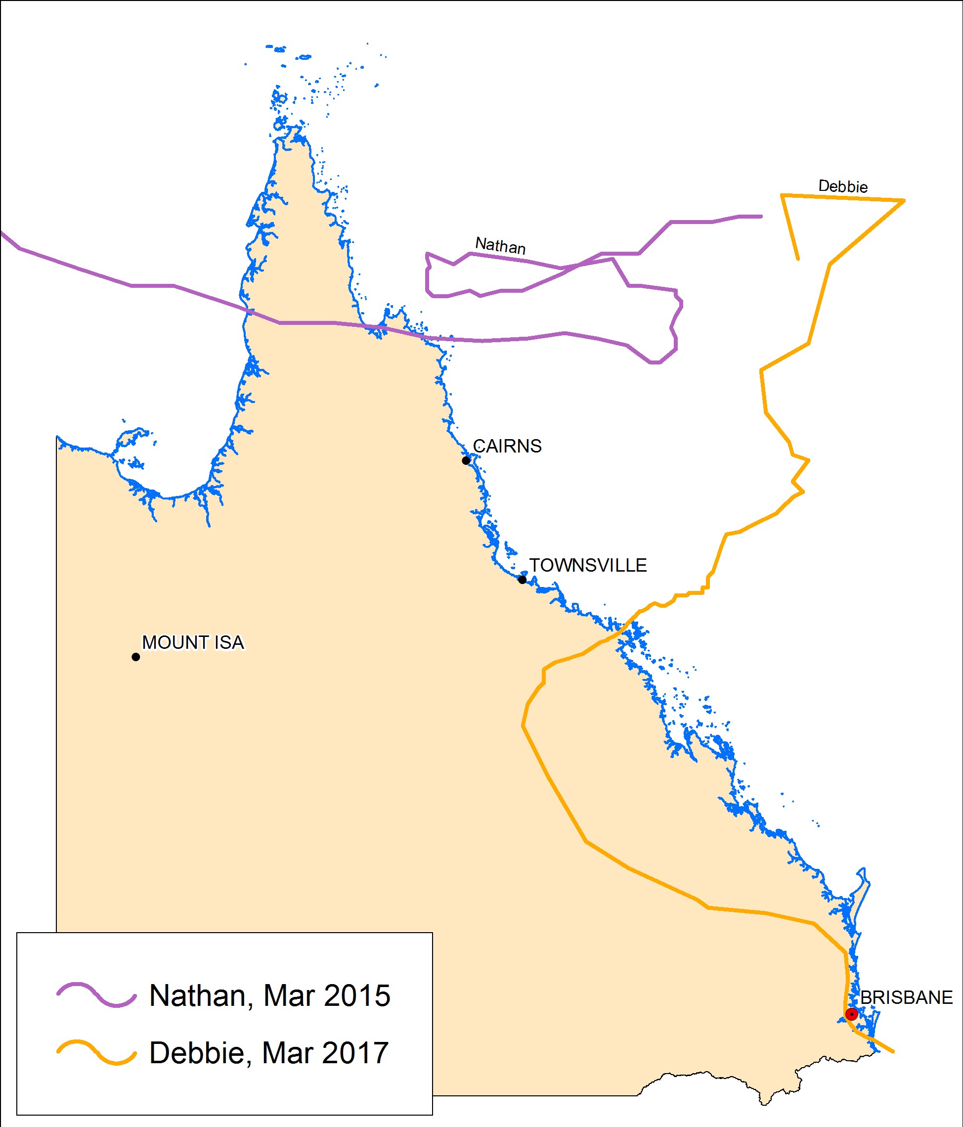
- Tropical Cyclone Nathan made landfall between Cape Melville and Cape Flattery shortly before 4am on 20 March 2015 as a category 4 severe tropical cyclone.
- Severe Tropical Cyclone Debbie made landfall near Arlie Beach on 28 March 2017 as category 4 severe tropical cyclone.
More information:
Indicator: Cyclone activity
Annual cyclone count 1978-2017. Map showing the movement tracks of cyclone events within SOE periods. Data is current as at December 2017.
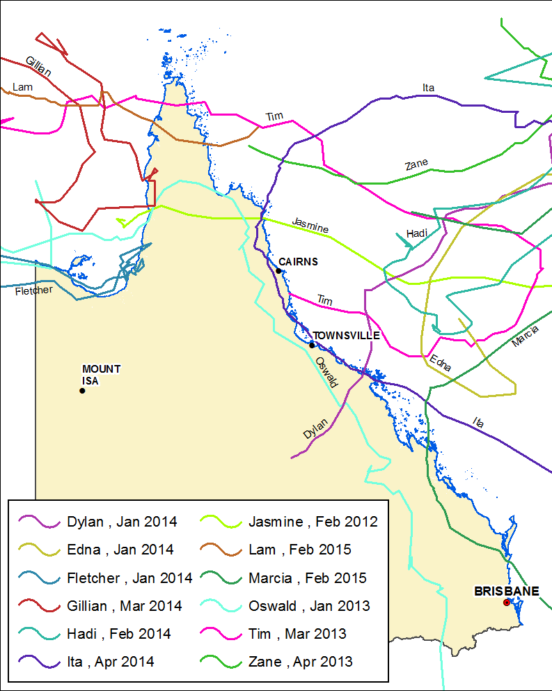
 Cyclone track, 2012–2015. Source: Track lines created from cyclone point database
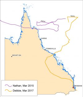 Cyclone track, 2015–2017.Source: Track lines created from cyclone point database